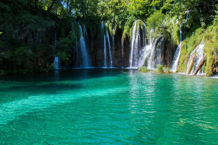
Plitvice Lakes National Park waterfalls
Tesla Delacroix · CC BY-SA 4.0
Original photograph on Wikimedia Commons ↗
Resized and converted to WebP; no generative edits. Display layouts may crop photographs.
Real places, credited photography and official visitor sources.
This independent guide is published by Adriatic Ritual. Visitor sources were checked on 20 October 2026. Check the linked providers for current opening times, tickets, access and conditions.
Tesla Delacroix · CC BY-SA 4.0
Original photograph on Wikimedia Commons ↗
Resized and converted to WebP; no generative edits. Display layouts may crop photographs.
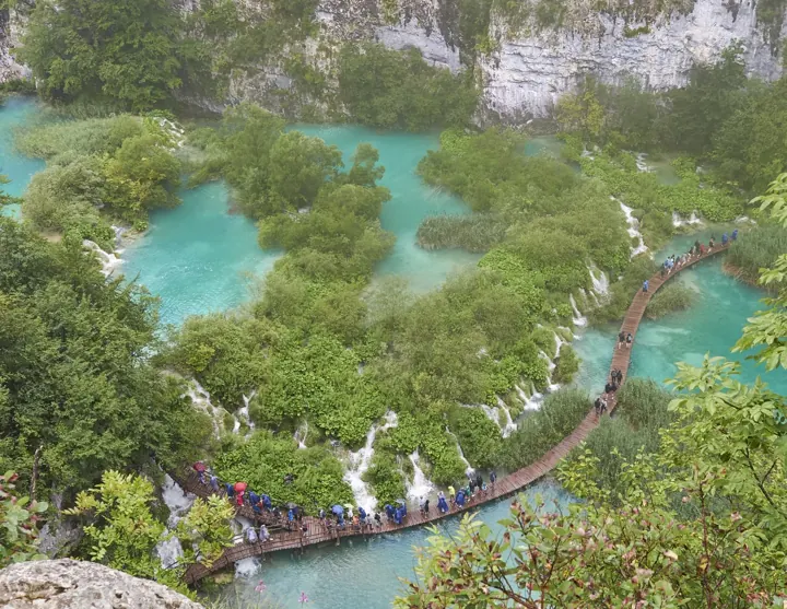
Naval S · CC BY 2.0
Original photograph on Wikimedia Commons ↗
Resized and converted to WebP; no generative edits. Display layouts may crop photographs.
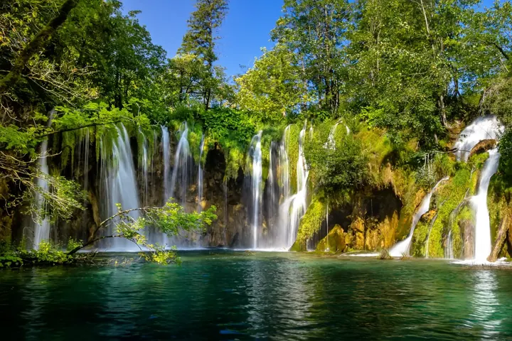
Zysko serhii · CC BY-SA 4.0
Original photograph on Wikimedia Commons ↗
Resized and converted to WebP; no generative edits. Display layouts may crop photographs.
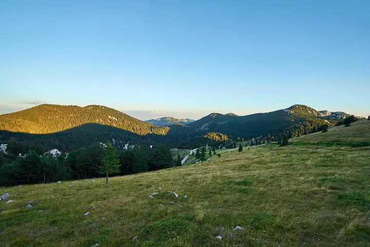
Anil Öztas · CC BY-SA 4.0
Original photograph on Wikimedia Commons ↗
Resized and converted to WebP; no generative edits. Display layouts may crop photographs.
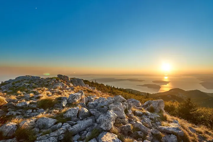
Anil Öztas · CC BY-SA 4.0
Original photograph on Wikimedia Commons ↗
Resized and converted to WebP; no generative edits. Display layouts may crop photographs.
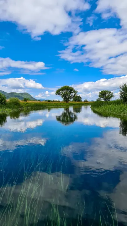
TomrlinDarko · CC BY-SA 4.0
Original photograph on Wikimedia Commons ↗
Resized and converted to WebP; no generative edits. Display layouts may crop photographs.
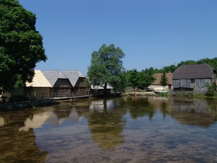
Darko Stefanac · CC BY-SA 4.0
Original photograph on Wikimedia Commons ↗
Resized and converted to WebP; no generative edits. Display layouts may crop photographs.
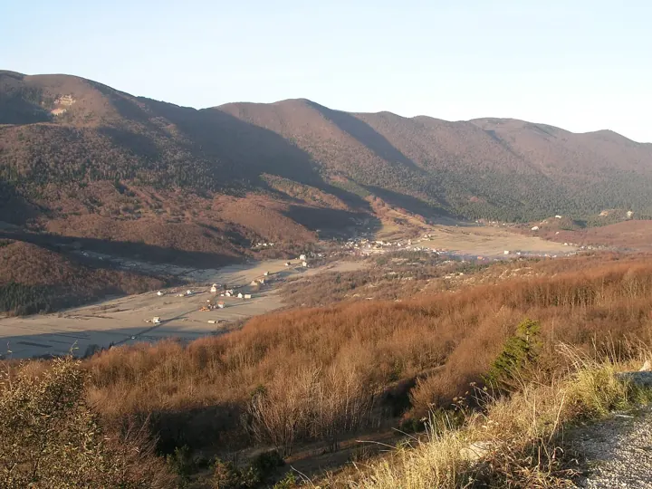
Damir Jelic · CC BY 2.5
Original photograph on Wikimedia Commons ↗
Resized and converted to WebP; no generative edits. Display layouts may crop photographs.
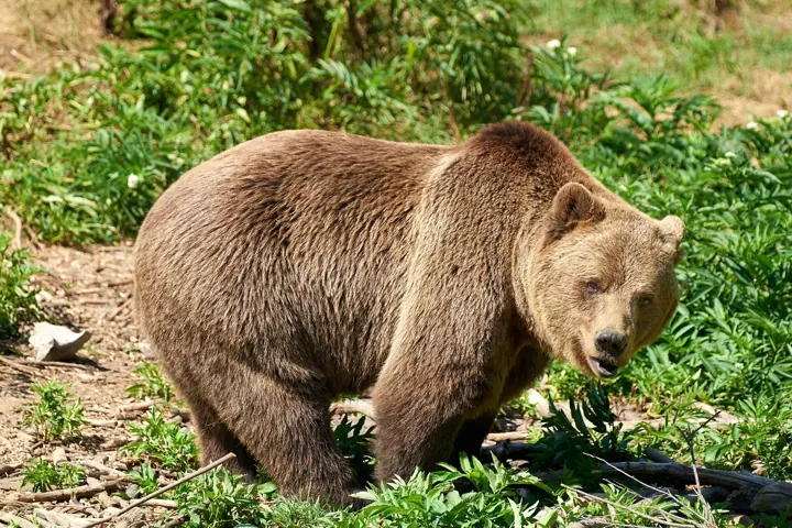
Anil Öztas · CC BY-SA 4.0
Original photograph on Wikimedia Commons ↗
Resized and converted to WebP; no generative edits. Display layouts may crop photographs.
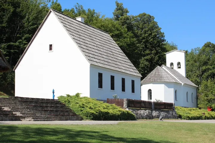
Zátonyi Sándor, (ifj.) Fizped · CC BY 3.0
Original photograph on Wikimedia Commons ↗
Resized and converted to WebP; no generative edits. Display layouts may crop photographs.
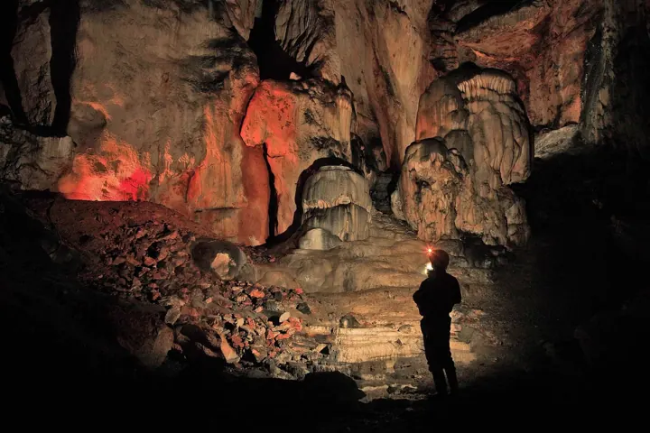
Pećinski park Grabovača · CC BY-SA 4.0
Original photograph on Wikimedia Commons ↗
Resized and converted to WebP; no generative edits. Display layouts may crop photographs.
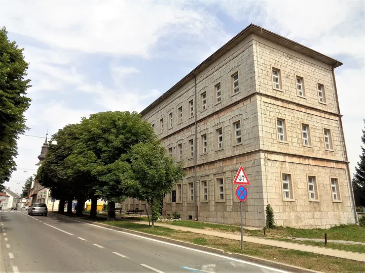
Silverije · CC BY-SA 4.0
Original photograph on Wikimedia Commons ↗
Resized and converted to WebP; no generative edits. Display layouts may crop photographs.
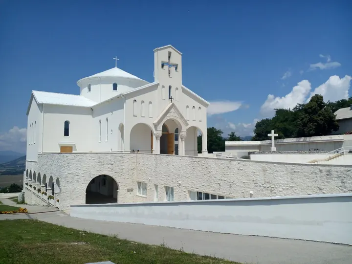
IvanOS · CC BY-SA 3.0
Original photograph on Wikimedia Commons ↗
Resized and converted to WebP; no generative edits. Display layouts may crop photographs.
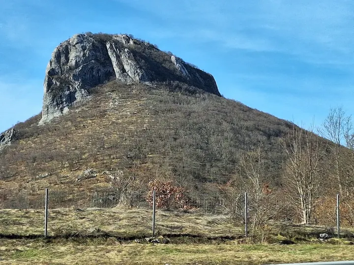
LvivForev · CC0
Original photograph on Wikimedia Commons ↗
Resized and converted to WebP; no generative edits. Display layouts may crop photographs.
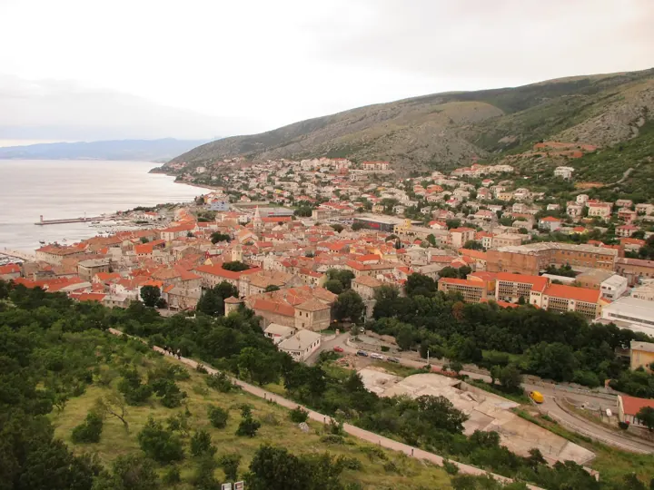
Dans · CC BY-SA 4.0
Original photograph on Wikimedia Commons ↗
Resized and converted to WebP; no generative edits. Display layouts may crop photographs.
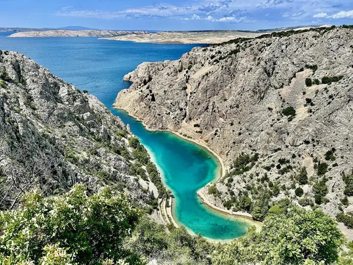
Olgierd Rudak · CC BY-SA 4.0
Original photograph on Wikimedia Commons ↗
Resized and converted to WebP; no generative edits. Display layouts may crop photographs.
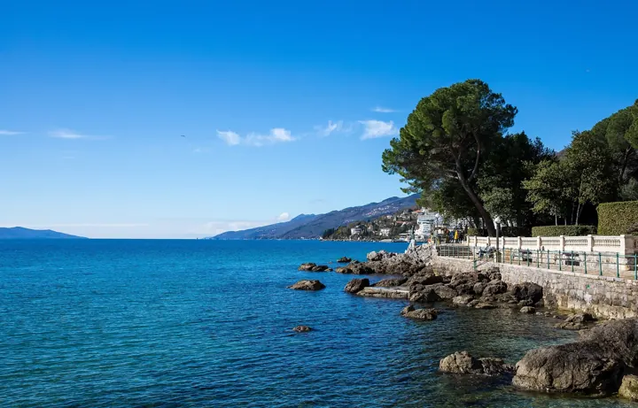
Jernej Furman from Slovenia · CC BY 2.0
Original photograph on Wikimedia Commons ↗
Resized and converted to WebP; no generative edits. Display layouts may crop photographs.
Map geography uses Natural Earth 1:10m land and boundary data, with an equirectangular projection at 44.67° N. Natural Earth map data is in the public domain ↗. The map is generalized for discovery, not navigation. The Velebit shading is illustrative; it is not a trail or surveyed boundary.
Place coordinates were checked against official park maps where available and public OpenStreetMap-derived place records. Detailed place sources ↗. Bay and mountain markers do not imply car access.
Fonts: Cormorant Garamond and DM Sans, used under the SIL Open Font License. Typography follows the live Završje.com reference: light Cormorant Garamond headings and DM Sans navigation and text.
Photographs are resized and converted to WebP, and may be cropped by the page layout. Adapted images retain the license shown with each credit.